One of the most unique and mysterious places in Mangystau


One of the most unique and mysterious places in Mangystau
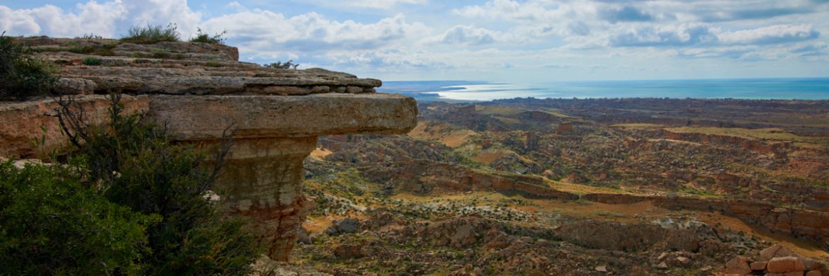
Одним из самых уникальных и загадочных мест Мангистау является мыс Жыгылган

Тау жығылған жерді көргіңіз келсе….
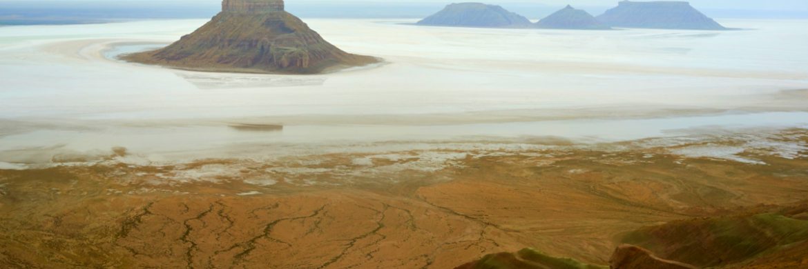
Впадина Карынжарык – жемчужина невероятной красоты, расположенная на территории заповедника Устюрт в регионе Мангистау
The Karynzharyk depression is a breathtaking natural wonder located within the extensive Ustyurt State Nature Reserve in the Mangistau region.
Маңғыстаудың сыр тұнған сиқырлы мекендері мүлгіген тыныштығымен-ақ баурайды
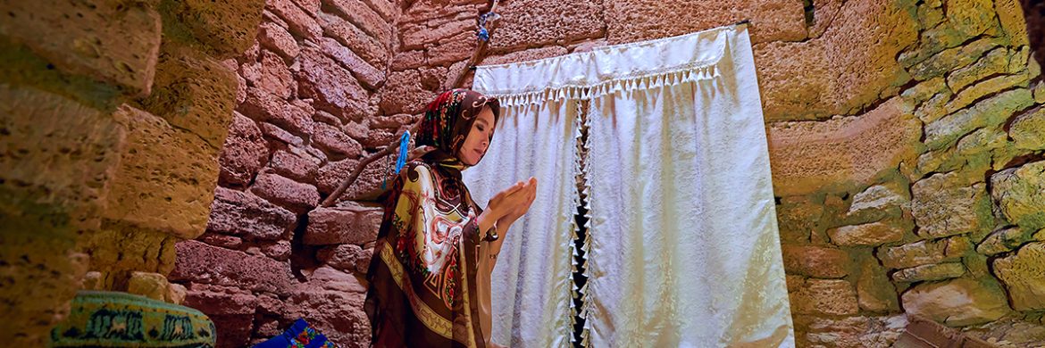
Сұлтан үпі жерасты мешіті – Маңғыстау өлкесінің киелі орындарының бірі
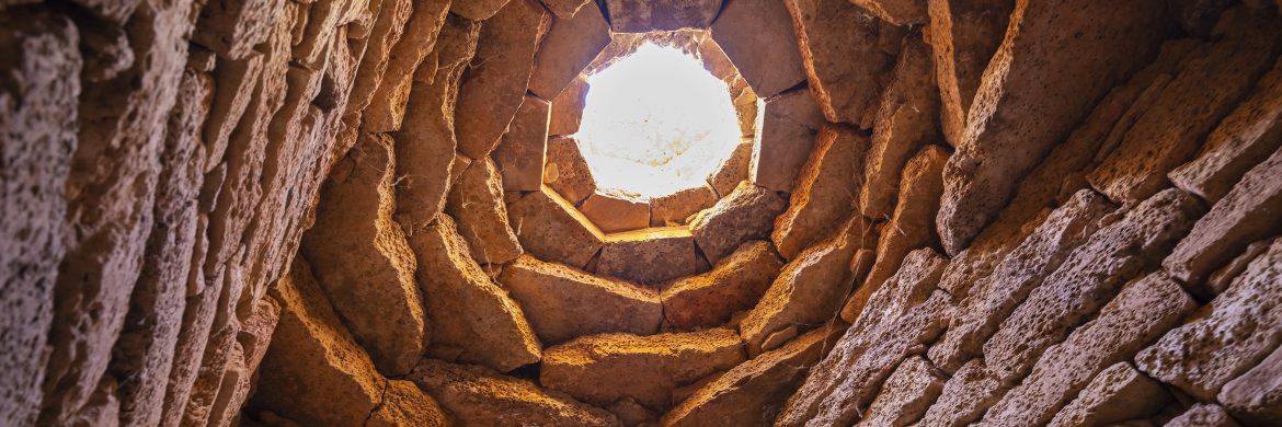
Каньон Султан упи расположен на северном побережье полуострова Тупкараган

Sultan Upi underground mosque is one of the sacred places in the Mangystau region
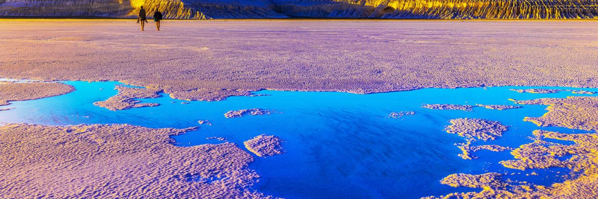
Mangystau is an extraordinary land, blessed with boundless steppes, rocky plateaus, canyons, and serving as the homeland of diverse wildlife. It defies comparison with any other place in the world when describing its unique locations. The charm of Mangystau lies in its awe-inspiring landscapes, reminiscent of an ever-changing canvas that enthralls, fascinates, and captivates all who behold it. Whether you seek adventure, appreciate nature’s wonders, or have a passion for history and culture, this region offers unparalleled experiences. From the grandeur of its natural wonders to the richness of its cultural heritage, this land beckons travelers to immerse themselves in its splendor.
Our mission is to introduce the world to this treasure trove of a country, with its distinctive character and abundance of natural beauty. Through our articles, we aspire to share the captivating landscapes and allure of Mangystau, starting with our first piece on Tuzbair.
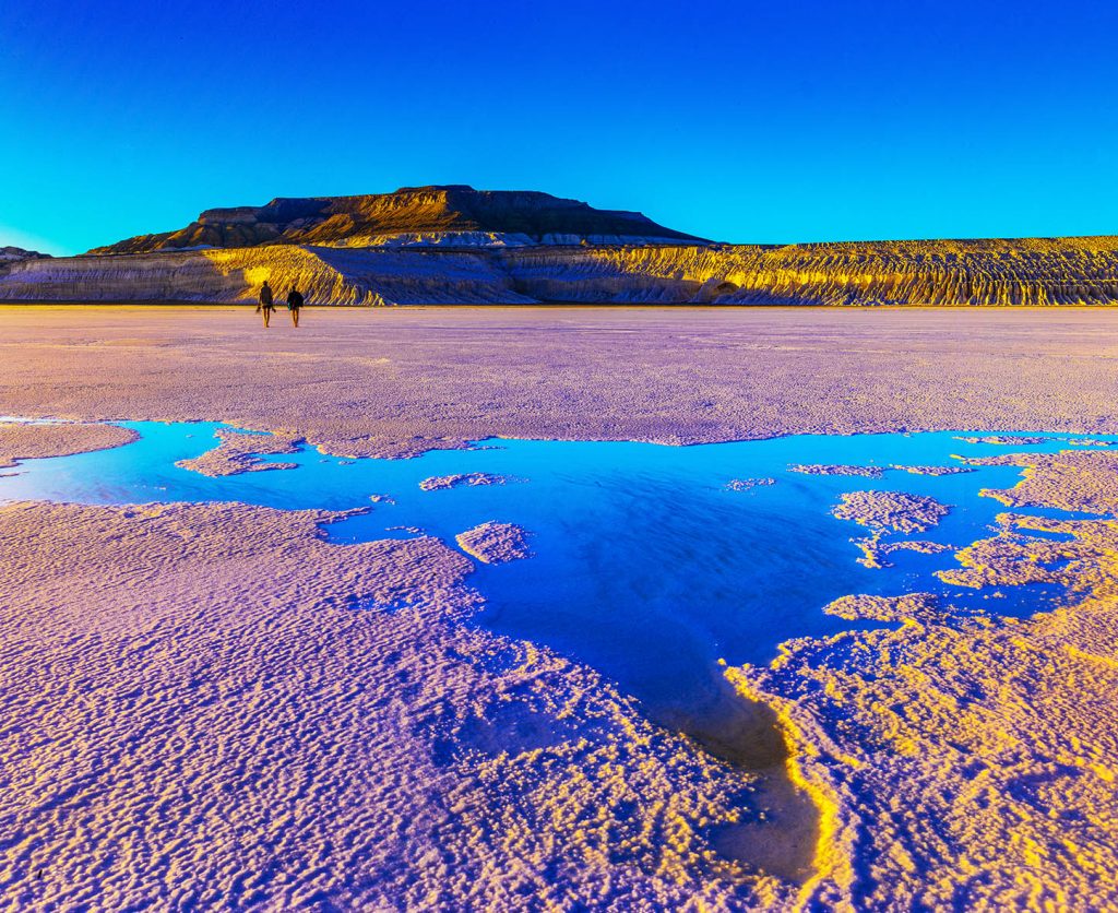
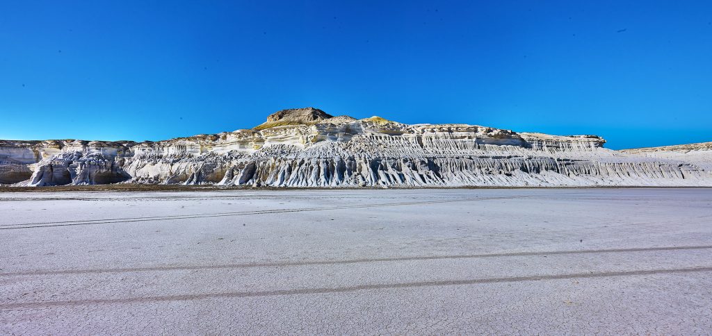
Would you like to walk on the surface of the lake? When answering this question, it is clear that any person will be bewildered. But if you know about Tuzbair or read more, you will realize the meaning of our question.
According to scientists, today’s Mangystau region was once the bottom of the Tethys Ocean, situated between the supercontinents of Laurasia and Gondwana, approximately 250 million years ago. This assertion is supported by the discovery of shark skeletons and teeth that are occasionally found in this valley. Over time, as the water receded, the combination of wind and rain shaped the landscape, creating beautifully sculpted chalk rocks, cliffs, and depressions. It is believed that Sor Tuzbaiyr, along with plateaus, gorges, and ravines, was formed through the erosion of softer rocks.
According to the information given by K. Tigenov, who was the guide of the expedition of Colonel F. Berg to Central Asia in 1825, the Amu Darya channel came along the ancient Uzbai river channel, bordered the Southern Plateau, and poured into the Caspian through Tuzbair.
Although marine life is absent from Tuzbair today, representatives of flora and fauna typical of the desert region can be found. Endemic types of plants grow there: anabasis salsa, Salsola Richteri Karel, Astragalus ustiurtensis, as well as rare plants: black saxaul, Zygophyllum turcomanicum. Among the animals, the steppe eagle, golden eagle, falcon, black-bellied sandgrouse, Pallas’s cat, owl, saiga, goitered gazelle, and black Brandt’s hedgehog live there.
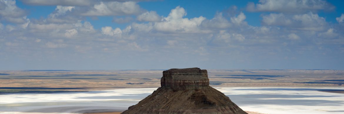
The Sor Tuzbair is located 250 kilometers from Aktau. Most of the route goes along the highway. If you don’t plan to go down to the Sor, but you just want to enjoy the scenic views of Tuzbair from above, you can choose any crossover as a vehicle. At the 243rd kilometer, you need to get off the Aktau-Beineu highway and reach the western ridge of Ustirt on the far side of the cliff on a leveled dirt road. If you stand on the rocks and gaze into the distance, a mesmerizing symphony of three colors harmoniously unfolds before your eyes, a masterpiece crafted by nature itself. The white clouds gracefully mingle with the expanse of the white salt marsh, while the blue sky and hazel-colored soil complete this enchanting palette. Cracks, rocks, and ravines surround you, forming a rugged tapestry. Here, life itself seems suspended, save for the ethereal dance of clouds upon the lake’s surface and the caress of the dry wind. The true artist of this place is the wind, a sculptor who weaves intricate patterns upon the pristine white rocks, creating a spectacle beyond compare.
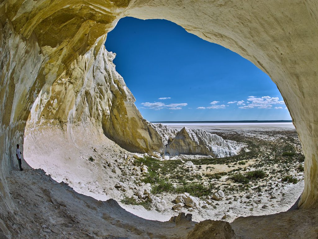
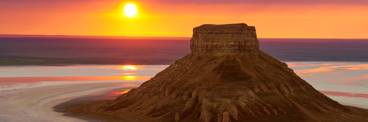
The view of the salt lake, positioned 10 kilometers south of the historic Manata hill, undergoes remarkable transformations with the changing seasons and the passage of time. In daylight, the salt flat dazzles, reflecting the sun’s brilliance, while at dusk, it becomes a canvas bathed in the warm hues of the setting sun, casting the surroundings in captivating shades of red. On rainy days, the expansive six-kilometer field transforms into a pristine, mirror-like lake, and under the scorching heat of the sun, it reverts to a vast expanse of white salt. During summer, the lake’s surface hardens, allowing for walking, as previously mentioned. However, exercise caution, as although the surface is firm, the underlying layer can be a swamp. Therefore, it is best for the delicate nature and for you to admire this wonderful landscape of the steppe without leaving a trace.
A trip to Ustirt and Tuzbaiyr should be planned for the second half of April and May. During this period, the field is green, and the weather is cool and invigorating. In summer, the air temperature rises to +45 degrees. Autumn, when the intensity of the sun’s heat subsides, is also a good season for travel. However, field colors may not be as saturated as in spring.